


El Niño and La Niña are two phases of the El Niño Southern Oscillation cycle, a climate phenomenon that originates in the Pacific Ocean, according to NASA. While El Niño is characterized by warmer-than-average sea surface temperatures in the Pacific Ocean, La Niña causes cooler-than-average sea surface temperatures in the same region. Though the climate cycles occur in the Pacific, the two significantly influence atmospheric circulation patterns and changes in weather conditions globally.
According to Atmospheric and Oceanic Sciences Director Daniel Vimont at the University of Wisconsin, though El Niño only causes the equatorial Pacific to warm 2-3 degrees Celcius above normal, this is an “enormous” heat change for the planet.
El Niño is the most influential natural phenomenon that occurs in a one-year timescale in the climate. Vimont said scientists have been researching the El Niño phenomenon since a group of sailors off the coast of Peru noticed it almost 100 years ago. The sailors initially noticed changes in the currents and a warming of the waters and named the change “El Niño” as the event often occurred in December, around the Coming of El Niño, a Christmas tradition in the area.
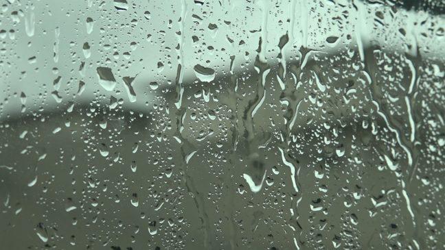
Understanding these patterns is crucial for many — from scientists to policymakers. According to the World Meteorological Organization, the current El Niño event developed last June, leading to patterns of increased rainfall in some areas, like the southern U.S., and warm and dry conditions in Southeast Asia, Australia and southern Africa.
This past winter of 2023, the El Niño patterns were very strong and had a large contribution to a warmer winter, UW Atmospheric and Oceanic Sciences professor Jonathan Martin said. Where tropical storms congregate depends on how the unusually warm Pacific water temperatures alter the weather patterns in the northern hemisphere.
“They [tropical storms] care where the warm water is,” Martin said. “Warm water is displaced from its normal place, which is the far western Pacific like Indonesia and is instead over in the eastern Pacific.”
Moving into a new year, climatologists are looking at a weakening El Niño, according to Martin. As El Niño weakens, forecasts become more difficult to predict, but people can expect a drier climate and more active tropical storms. Vimont and Martin both said it is impossible to accurately predict the amount of intensity of future Atlantic hurricanes, but, a weakening El Niño is likely to lead to a La Niña event.
La Niña causes strong winds at high altitudes to slow down. This causes perfect conditions for storms to form in the Atlantic Ocean. When La Niña events occur, more hurricanes can develop, and they have the potential to be even stronger than usual, Vimont said.
Each year, research teams at Colorado State University attempt to predict the storms. This year is projected to have an extremely active season, predicting a potential 23 storms, according to CSU.

Given its central and wet location, Wisconsin is a good place to avoid weather repercussions such as hurricanes or wildfires. Fortunately for wildfire-prone areas like California, the coming La Niña may decrease the potential for them to occur. Martin said in prior years where there have been outrageous fire seasons, the year had gotten off to a dry start. Due to the rainier El Niño season, he thinks this year will see a weaned threat of wildfires, with a reduced fire threat in the West, especially compared to recent years.
Still, the threat of a resurgence of the 2023 fires in eastern Canada looms. But this doesn’t pose a large threat to the state of Wisconsin besides a possible continuation of the smoky skies seen in the summer of 2023, according to Martin. There is no reason for concern as the previous drought in the northern part of Wisconsin has been mostly alleviated.
Vimont likened an El Niño to throwing a rock in a pond and seeing the waves propagate outward from that rock afterward.
“The same thing happens on our globe when an El Niño happens,” Vimont said. “It’s like an enormous rock in an enormous pond, so waves in our atmosphere propagate outward from that. That’s how El Niño and La Niña can affect us here in Wisconsin and can also affect hurricanes in the Atlantic or something that is thousands of miles away.”
In recent years, climate change has exacerbated the intensity of El Niño and La Niña events, according to the National Oceanic and Atmospheric Association. The increased intensity can amplify their effects and present new challenges for communities and people worldwide, which is just another reason to stay informed and prepare for potential future challenges.